How it works
If you’re a landowner in Waller County interested in exploring this project, here’s what the process typically looks like. The timeline below outlines a typical reforestation pathway, from initial assessment through planting and long-term stewardship. Timing may vary depending on site conditions, planting windows, and other project-specific considerations.
First meeting
First, we meet you and discuss the project. You can ask any questions, share concerns, ask about the program. We’ll leave some materials with you for review.
Review materials and decide interest
You have time to look over materials and decide if this is a project you’d like to join.
Site visit and ecological evaluation
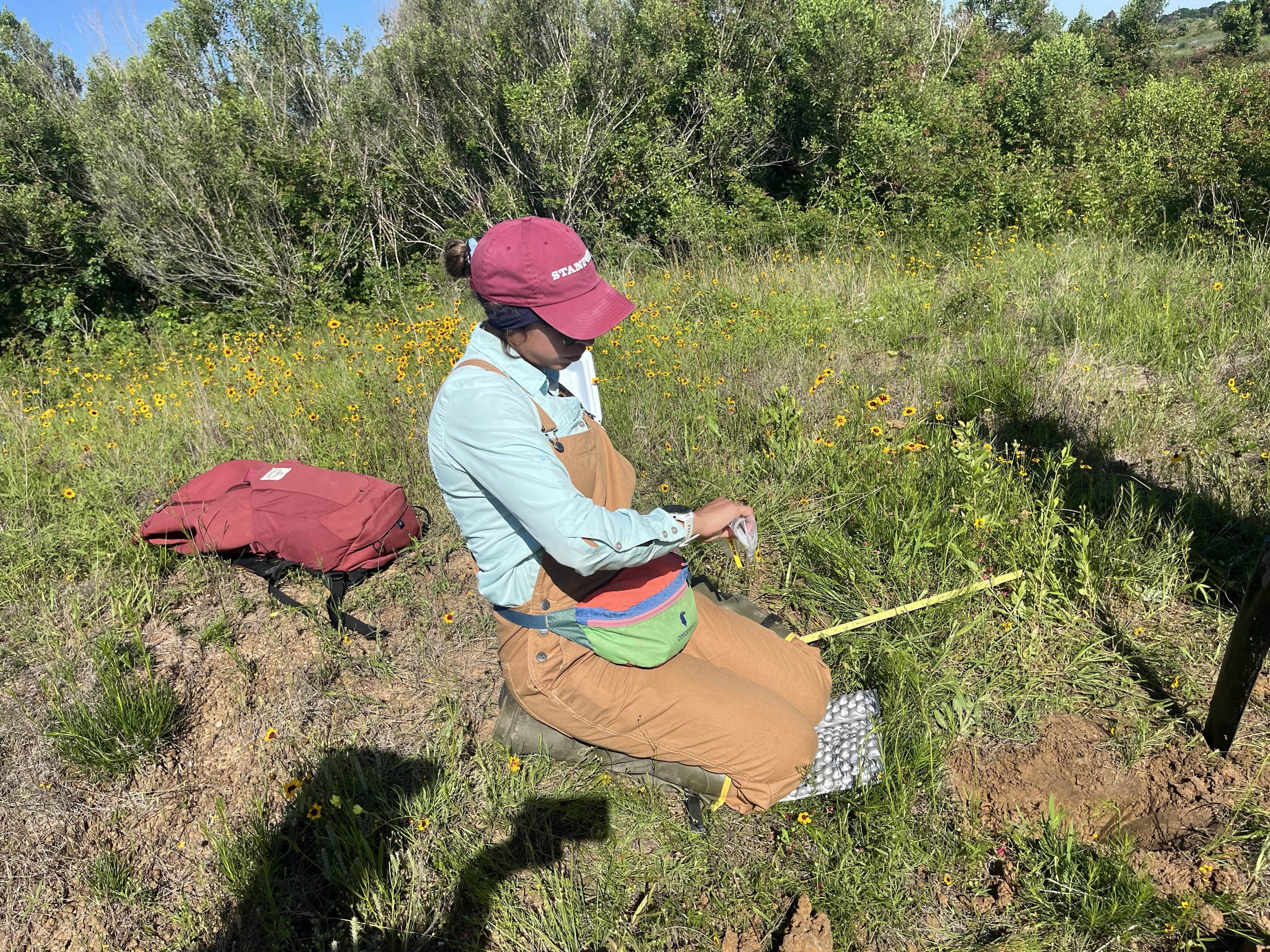
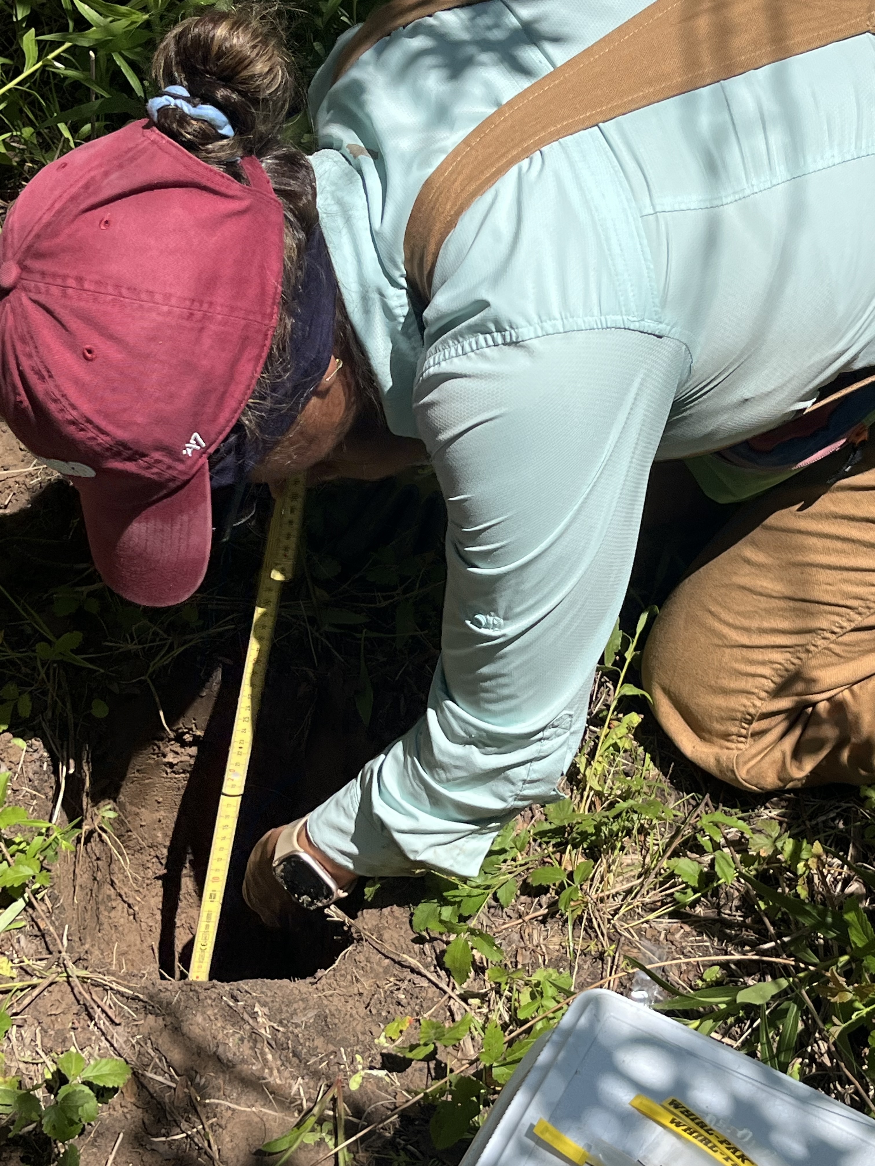
If you’re interested, we’ll begin with a basic feasibility assessment to confirm your land is eligible, followed by an initial ecological assessment to discuss opportunities for reforestation and carbon project participation, and your management priorities. After the visit, we’ll begin developing a preliminary site plan.
Site design
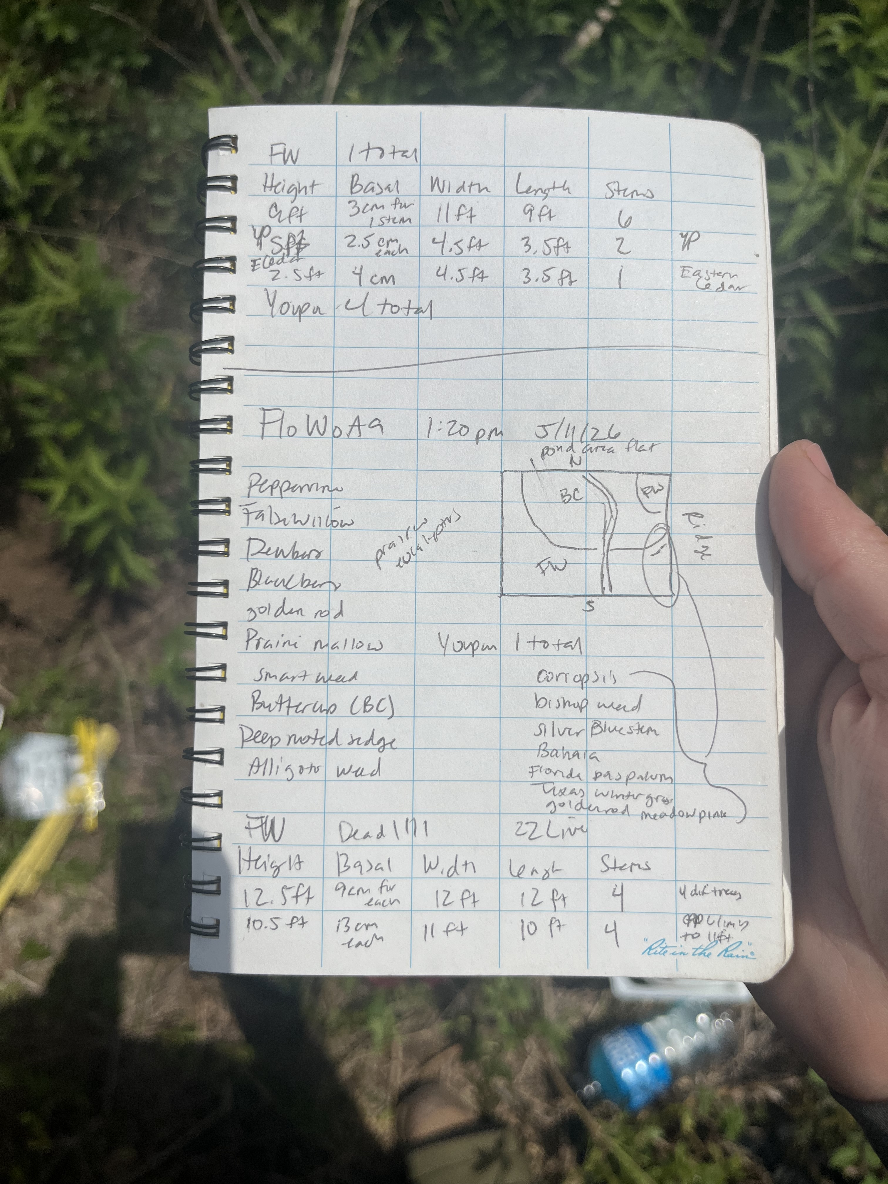
Next, our ecology team will work towards a refined site design based on field observations, available data, and your goals for the property. During this phase, we complete baseline assessments, review program requirements, and work with you on participation agreements.
Site preparation & planting
Next, our team coordinates site prep & planting logistics, helping ensure that the right trees are established in the right places for long-term success.
Long-term monitoring
After planting, we will continue working alongside you to monitor project progress and support establishment success. Monitoring may include survival surveys, ecological assessments, carbon measurements, and more. We provide ongoing guidance to help maintain the health of the restored area and maximize environmental benefits for future generations.

FAQ
What is this program?
Collaborative Earth’s Waterways Program aims to reforest waterways across the Gulf States using innovative finance models to scale restoration. Our model leverages the voluntary carbon market and public and private funds to support wetland regeneration on private properties. By focusing on small-scale landowners and pooling properties into a larger overall project, this work unlocks funding for landowners to steward local ecosystems on their properties. We are committed to long-term ecosystem health and monitoring projects for 20+ years. Our work on this effort is backed by a grant from the US Forest Service.
Where do you work?
The first phase of the Waterways Program is along Ponds Creek and Clear Creek in Waller County, Texas. Here, we are launching a twelve-mile reforestation effort that follows the creeks from Prairie View A&M University (PVAMU) to the Brazos River. The first site in this phase of work is a 90-acre property on PVAMU’s campus. The work along Ponds Creek and Clear Creek is part of a broader effort to reforest waterways and increase the tree canopy within the Brazos Basin. Our team works with private landowners with property along the Brazos River and its creeks. We prioritize planting in areas where restoration can increase resilience to flooding.
How is this work funded?
This project will be assembled from a range of funding sources, each tailored to the characteristics of individual landowners and their land. We will work directly with landowners to guide, assist, and help complete the necessary materials for various programs. The following funding types may be used in this project:
Carbon FinancingA core part of this project’s funding will come from the generation and sales of high-integrity carbon credits. When we plant on your property, those trees capture carbon as they grow. We will measure, monitor, and document this carbon sequestration to pursue verification and credit issuance under voluntary carbon standards. We will support participating landowners through every stage of this process, including site assessment, enrollment, implementation, and long-term monitoring. Participation is voluntary and subject to eligibility requirements.
Private PhilanthropyGrants, donations, and other private funding sources may supplement project activities and help offset the costs of planting.
Flood Mitigation and Resilience FundingIn areas prone to flooding or runoff issues, we anticipate drawing on government and philanthropy programs that support natural infrastructure—such as wetland restoration, buffer zones, and native vegetation planting. These programs often require site assessments or hydrological data, which we can help coordinate and interpret for you.
What can landowners expect?
There is no cost to landowners to participate in the program.
Our team provides the technical expertise needed to ensure projects meet program standards and deliver lasting ecological and financial benefits. Participation is voluntary and subject to eligibility requirements. Landowners should expect that participation will involve agreements covering specific time commitments and land management practices necessary to fulfill program requirements over time. A dedicated Community and Landscape Coordinator will support landowners as they join the program.
Landowners in Waller County along Clear and Ponds Creeks, and the Brazos River, are currently invited to participate.